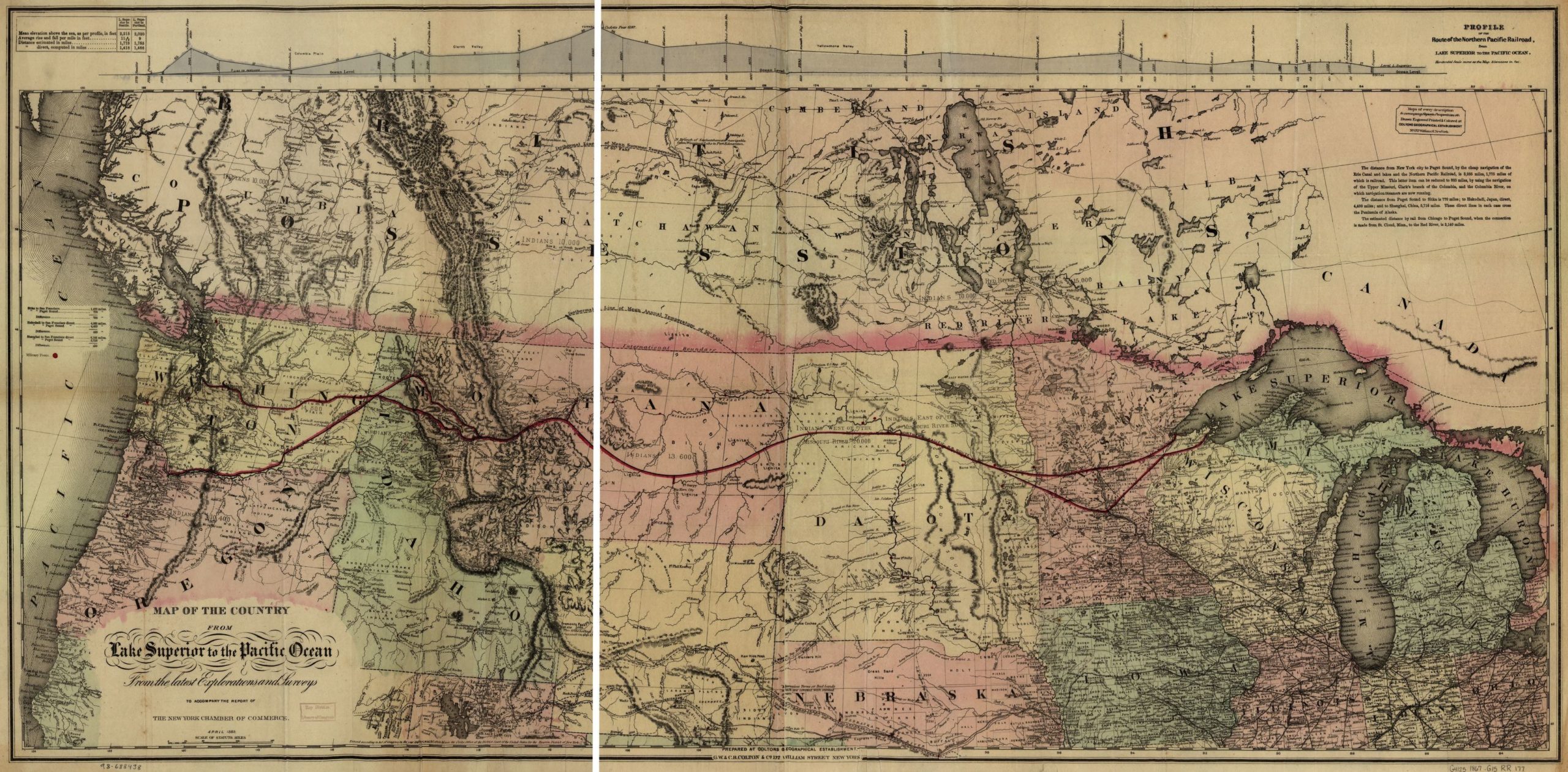
This map, when viewed closely, shows several important westward routes including the Pony Express Route, the Overland Mail Route, the Great California Trail, the Oregon Trail, and numerous other well-known routes to destinations throughout Idaho, Oregon, California, Washington, and Montana. The map also shows the in-progress route of the Transcontinental Railroad.
Source: G.W. & C.B. Colton & Co., Map of the Country from Lake Superior to the Pacific Ocean: from the Latest Explorations and Surveys to Accompany the Report of the New York Chamber of Commerce, April 1868 (n.p.: 1868), accessed July 27, 2020, https://www.loc.gov/item/98688438.
